Showing posts with label Point Roberts WA USA. Show all posts

12/28/2010

Anaheim Ducks towel invades: Strait of Georgia


Submitted by: BuckyHermit (from Vancouver, BC, Canada)

Country: United States (Canada )
State: Washington (British Columbia)
City: Point Roberts
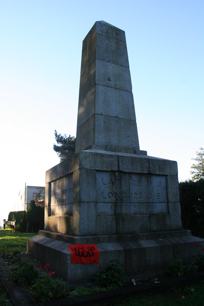
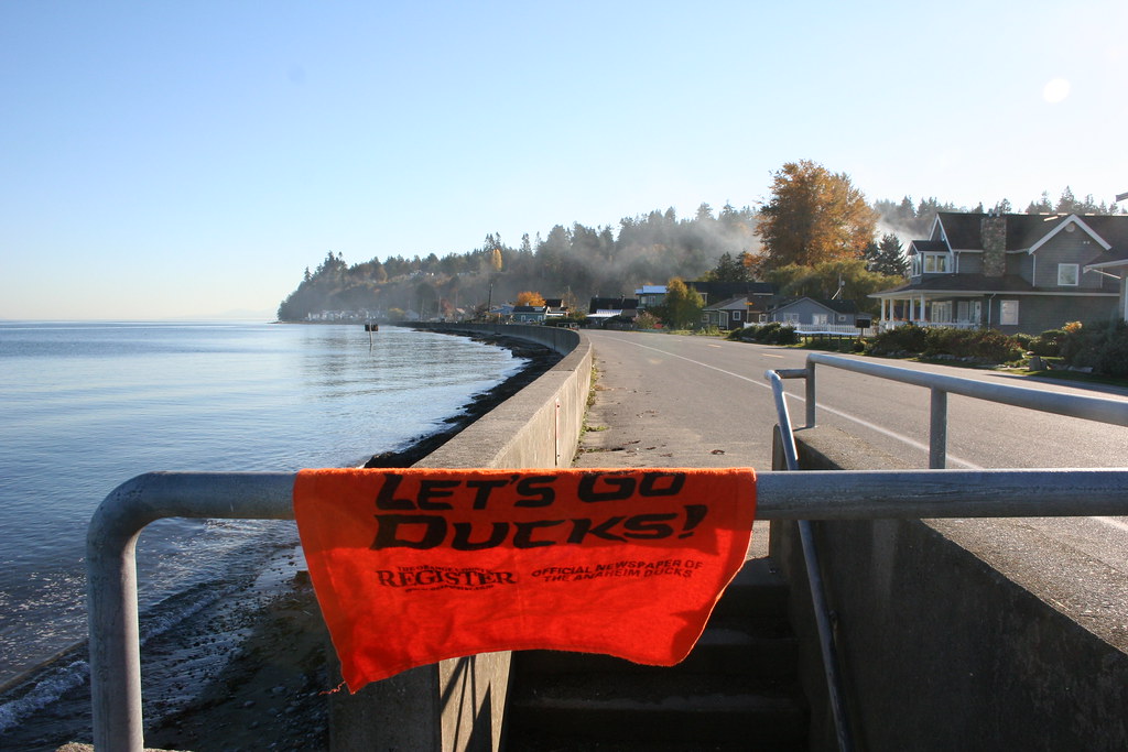
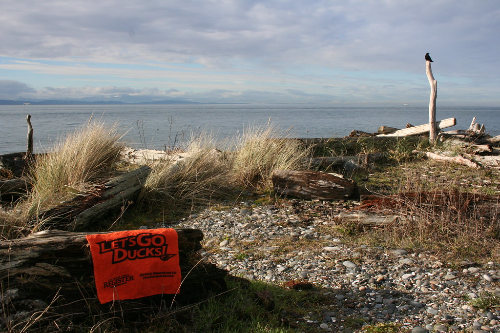
Location: Strait of Georgia from Marine Lighthouse Park [map]
Status since photo:

The Strait of Georgia divides Vancouver Island from the British Columbia mainland, as well as parts of northwest Washington state; within the strait lie British Columbia's Gulf Islands and Washington state's San Juan Islands. It is also a major British Columbia crossing area between Vancouver and Victoria, as well as a popular killer whale watching area.

11/05/2010

Anaheim Ducks towel invades: Boundary Marker No. 1


Submitted by: BuckyHermit (from Vancouver, BC, Canada)

Country: United States
Country: Canada
State: Washington, United States
Province: British Columbia, Canada
City: Point Roberts, Washington
City: Delta, British Columbia
Location: Boundary Marker No. 1 [US map] [Canada map]
Status since photo:

Boundary Marker No. 1 is a historic border marker between the United States and Canada; it is the western-most land border marker between the two countries. It lies on the 49th parallel, the border agreed upon by the United States and Great Britain on June 15, 1846, and the monument was placed here in 1861. From this point westwards, all contiguous American territories are south of the 49th parallel and share no land border with Canada. Unlike other boundary markers, Boundary Marker No. 1 lies mainly on American soil.

11/03/2010

Anaheim Ducks towel invades: Point Roberts, WA


Submitted by: BuckyHermit (from Vancouver, BC, Canada)

Country: United States
State: Washington
City: Point Roberts
Location: Point Roberts shoreline at Maple Beach [map]
Status since photo:

Point Roberts is one of the few places in the contiguous United States that cannot be reached by land without crossing a customs checkpoint; it is surrounded on three sides by water and one side by Canada. It contains the western-most land border marker in the contiguous United States. After the Fraser River gold rush in the 1850s, Point Roberts was an American military reserve but was never used; it was decommissioned afterwards, allowing for private development. Today, as a result of its geographic anomaly, approximately half of Point Roberts' properties is owned by Canadians (mostly as vacation homes), almost all business there accept Canadian currency as the norm and gasoline is sold in liters rather than gallons.
Related Posts Plugin for WordPress, Blogger...
© Copyright 2009-2013 by Anaheim Ducks Towel Invasions, a division of Hermit Productions. Unless stated otherwise, all photographs are taken by their respective submitters and may not be used elsewhere without prior and express written permission. We are not officially affiliated with the National Hockey League or Anaheim Ducks in any way. All comments are the opinions and thoughts of their respective authors, and do not necessarily reflect the views of the blog author. All rights reserved.


Locations of visitors to this page